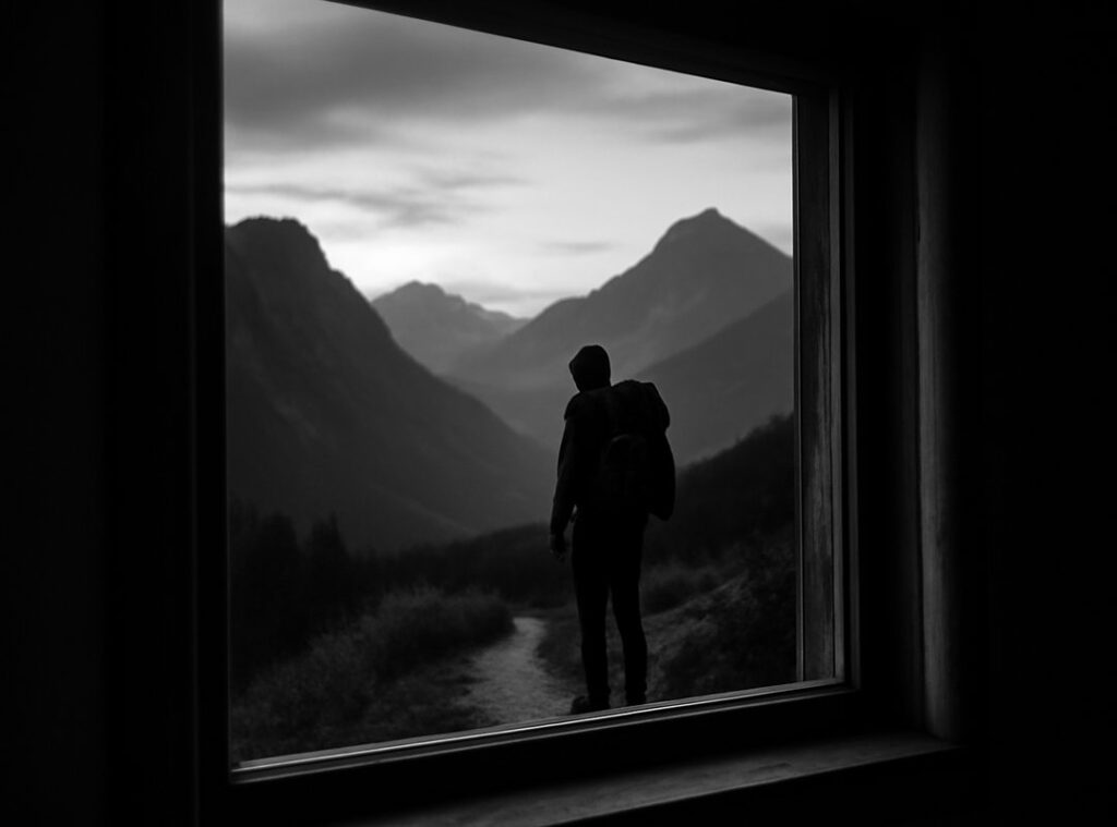
Getting into the wild is exhilarating—until you realize you’re not entirely sure how to get back. If you’re searching for clear, practical guidance on outdoor navigation basics, you’re likely preparing for a trek, backcountry adventure, or wilderness exploration where confidence and safety matter.
This article is designed to give you exactly that: a focused, easy-to-follow foundation in reading terrain, using maps and compasses, understanding natural markers, and avoiding common navigation mistakes. Whether you’re a beginner planning your first overnight hike or an experienced trekker refining your skills, you’ll find actionable strategies you can apply immediately.
The insights shared here are grounded in real-world wilderness experience, field-tested techniques, and proven trekking strategies used by seasoned explorers. Instead of vague theory, you’ll get practical navigation principles that work in forests, mountains, and remote trails—so you can explore farther with clarity and confidence.
Stepping into the wild can feel overwhelming. Many argue that smartphones and GPS apps make traditional skills obsolete. Why learn a compass when Google Maps exists? Fair point—until batteries die or signals vanish (and they will). Mastering outdoor navigation basics gives you control when tech fails.
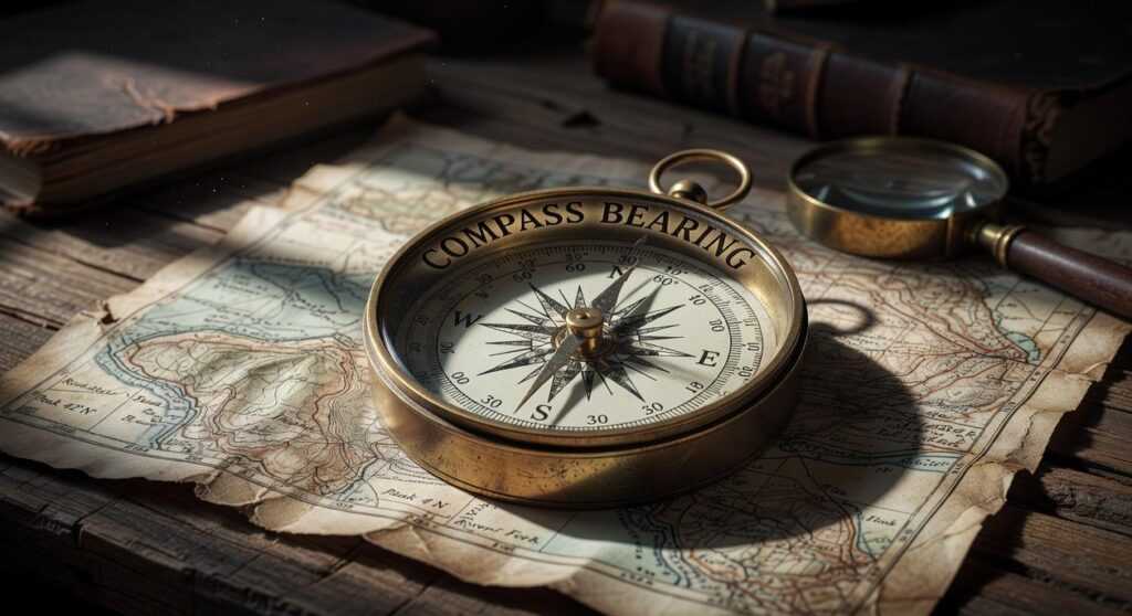
Start simple. Learn to read a topographic map—those squiggly contour lines show elevation. Pair it with a compass, a magnetic needle that points toward north. Notice natural cues like the sun’s arc or prevailing winds.
Think of it less like survival drama and more like leveling up in a video game. Small skills. Confidence.
The Foundation: Reading the Land Before the Map
As you embark on mastering the basics of outdoor navigation, understanding environmental factors such as vegetation types, which can affect your pathway choice, may also lead you to explore the benefits of tools like Lescohid Herbicide for managing overgrowth in your preferred hiking spots.
Before GPS, there was observation. And despite what modern tech suggests, direction-finding isn’t magic—it’s pattern recognition.
Using the Sun as Your Compass
First, a definition: cardinal directions simply mean North, South, East, and West. The sun rises roughly in the East and sets roughly in the West (yes, “roughly” matters because seasons shift its exact position).
To get more precise, try the stick-and-shadow method. Place a straight stick upright in the ground. Mark the tip of its shadow. Wait 15–20 minutes and mark the new tip. Draw a line between the two marks. That line runs approximately West to East—the first mark is West, the second is East. Stand with West on your left and East on your right; you’re facing North. Simple, reliable, no batteries required.
Nighttime Navigation with the North Star
Polaris, or the North Star, stays nearly fixed above true North. Find the Big Dipper. Locate the two stars forming the edge of its “bowl.” Extend that line outward about five times the distance between them. The bright star you reach is Polaris. (Yes, it’s basically the sky’s version of a waypoint marker.)
Interpreting Natural Cues
Next, observe wind-bent trees, river flow (water moves downhill), and denser vegetation in wetter areas. However, the idea that moss only grows on the north side of trees is a myth; moss grows where moisture collects, regardless of direction (National Park Service).
These outdoor navigation basics clarify your surroundings before any map unfolds.
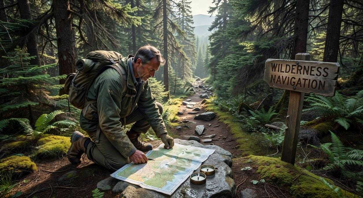
Your Essential Toolkit: Mastering the Map and Compass
Most beginners assume GPS has made map-and-compass skills obsolete. And sure, your phone is convenient—until the battery dies, the signal drops, or you’re deep in a valley with zero bars (which always seems to happen at the worst moment). Mastering analog navigation isn’t nostalgic—it’s resilient.
Anatomy of a Topographic Map
A topographic map is a detailed representation of terrain using contour lines—thin, looping lines that show elevation. When lines are close together, the slope is steep; when spaced out, it’s gradual. Think of them as 3D terrain flattened onto paper.
The scale tells you distance. A 1:24,000 scale means one unit on the map equals 24,000 in real life. Ignore this, and your “short hike” becomes a forced march.
The legend explains symbols—trails, water sources, ridgelines. Many competitors gloss over this, but seasoned navigators study legends first. Subtle markings can reveal seasonal streams or unmapped structures.
Finally, declination is the angle between magnetic north and true north. Adjusting for it ensures your compass aligns with reality, not magnetic drift (yes, the Earth’s field actually shifts over time; NOAA tracks this).
The Four Steps to Orienting Your Map
- Lay the map flat.
- Set your compass declination.
- Place the compass along a north-south grid line.
- Rotate map and compass together until the needle aligns with magnetic north.
Now your map mirrors the terrain—core to outdoor navigation basics.
Taking a Bearing
Point the direction-of-travel arrow at a visible landmark. Rotate the bezel until the needle aligns with north. The degree reading at the index line is your bearing—your directional heading.
Following a Bearing
Hold the compass level. Turn your body until the needle sits in the orienting arrow (“red in the shed”). Pick an object along that line and walk to it. Repeat. This leapfrogging technique maintains a straight path—even when your target disappears behind trees.
Some argue natural navigation (sun, stars, moss) is enough. It’s useful—but less precise. A calibrated compass doesn’t guess.
Pro tip: Pair these skills with physical preparedness—like mastering the essential knots everyone should know for camping and hiking. Precision compounds in the wild.
Modern Meets Traditional: Using GPS and Apps Wisely
Let’s be honest—few things are more frustrating than watching your phone battery drop to 3% miles from the trailhead. GPS devices and smartphones are incredible tools. They offer real-time positioning, downloadable offline maps, weather overlays, and emergency communication. In many cases, they’ve made wilderness travel safer and more accessible (yes, even for the friend who still thinks moss only grows on the north side of trees).
However, electronics have critical weaknesses. Batteries drain faster in cold weather, satellite signals fail in deep canyons or dense forest, and one hard drop can crack a screen. According to the FAA, GPS signals can be obstructed by terrain and heavy canopy cover, reducing accuracy. That’s not a flaw—it’s physics.
Some hikers argue paper maps are outdated and slow. On the other hand, relying solely on tech ignores a simple truth: devices fail. The hybrid approach solves this. Use GPS for quick confirmation, but rely on map and compass as your primary system. That’s outdoor navigation basics done right.
To stretch battery life, switch to airplane mode, enable low power mode, dim your screen, and keep your phone warm inside a pocket. Pro tip: bring a small power bank—but don’t treat it as invincible.
Confidence in the woods doesn’t come from theory; it comes from reps. Start with backyard practice in a local park. Orient your map, take a bearing, walk it, and confirm landmarks. These outdoor navigation basics turn confusion into clarity—and that means less panic when trails fade.
Try the Leapfrog Drill: pick a tree 30 yards away, walk your bearing to it, then choose the next marker. Short hops build ACCURACY fast.
• Faster decision-making
• Fewer wrong turns
Finally, build mental maps. Keep your head up, match hills and streams to your paper map, and you’ll move with calm certainty.
Your Journey to Confident Exploration Starts Now
From Knowledge to Trail Instinct
You now understand the outdoor navigation basics that turn uncertainty into direction. However, knowledge unused fades fast. So, start close to home.
- Grab a local park map and plot a short route.
- Practice orienting your compass and identifying landmarks.
- Cross-check terrain features with your plan.
Meanwhile, layer natural cues, traditional tools, and modern backups. Some argue GPS alone is enough, but batteries die and signals drop. Redundancy builds calm. In time, drills become instinct, and unfamiliar terrain feels manageable. Start today, because confidence is practiced, not purchased, earned.
Master Your Next Adventure with Confidence
You set out to understand how to navigate the wild with more skill and certainty—and now you have the clarity to do it. From terrain awareness to gear preparation and practical outdoor navigation basics, you’ve seen how the right knowledge turns uncertainty into control.
Getting lost, second-guessing your route, or feeling unprepared in the backcountry isn’t just frustrating—it can be dangerous. The difference between stress and confidence outdoors comes down to preparation and proven strategy.
Now it’s time to act. Apply these techniques on your next hike, refine your gear setup, and practice your navigation skills before your next big trek. If you’re ready to eliminate guesswork and explore with total confidence, dive deeper into our expert trekking guides and field-tested survival gear hacks—trusted by thousands of outdoor enthusiasts who refuse to leave their safety to chance.
Don’t wait until you’re off trail and unsure. Start sharpening your skills today and step into the wilderness prepared, capable, and in control.
 Albertinovaso Beavers has opinions about horizon headlines. Informed ones, backed by real experience — but opinions nonetheless, and they doesn't try to disguise them as neutral observation. They thinks a lot of what gets written about Horizon Headlines, Jaroconca Trekking Guides, Niche Explorations is either too cautious to be useful or too confident to be credible, and they's work tends to sit deliberately in the space between those two failure modes.
Reading Albertinovaso's pieces, you get the sense of someone who has thought about this stuff seriously and arrived at actual conclusions — not just collected a range of perspectives and declined to pick one. That can be uncomfortable when they lands on something you disagree with. It's also why the writing is worth engaging with. Albertinovaso isn't interested in telling people what they want to hear. They is interested in telling them what they actually thinks, with enough reasoning behind it that you can push back if you want to. That kind of intellectual honesty is rarer than it should be.
What Albertinovaso is best at is the moment when a familiar topic reveals something unexpected — when the conventional wisdom turns out to be slightly off, or when a small shift in framing changes everything. They finds those moments consistently, which is why they's work tends to generate real discussion rather than just passive agreement.
Albertinovaso Beavers has opinions about horizon headlines. Informed ones, backed by real experience — but opinions nonetheless, and they doesn't try to disguise them as neutral observation. They thinks a lot of what gets written about Horizon Headlines, Jaroconca Trekking Guides, Niche Explorations is either too cautious to be useful or too confident to be credible, and they's work tends to sit deliberately in the space between those two failure modes.
Reading Albertinovaso's pieces, you get the sense of someone who has thought about this stuff seriously and arrived at actual conclusions — not just collected a range of perspectives and declined to pick one. That can be uncomfortable when they lands on something you disagree with. It's also why the writing is worth engaging with. Albertinovaso isn't interested in telling people what they want to hear. They is interested in telling them what they actually thinks, with enough reasoning behind it that you can push back if you want to. That kind of intellectual honesty is rarer than it should be.
What Albertinovaso is best at is the moment when a familiar topic reveals something unexpected — when the conventional wisdom turns out to be slightly off, or when a small shift in framing changes everything. They finds those moments consistently, which is why they's work tends to generate real discussion rather than just passive agreement.